The Shuswap Loop
Hiking Area
Salmon Arm

Mount Ida (Kela7scen) Claim this business

4.6(20 reviews)

Quick answers about Mount Ida (Kela7scen)

Listed under Hiking Area. Serving Salmon Arm. Services include Hiking Area, Mountain Summit, and Viewpoint.

About

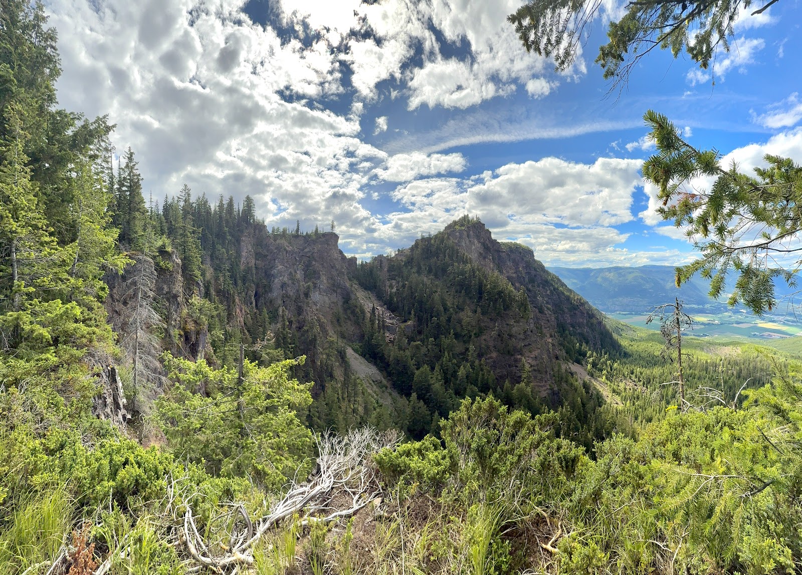
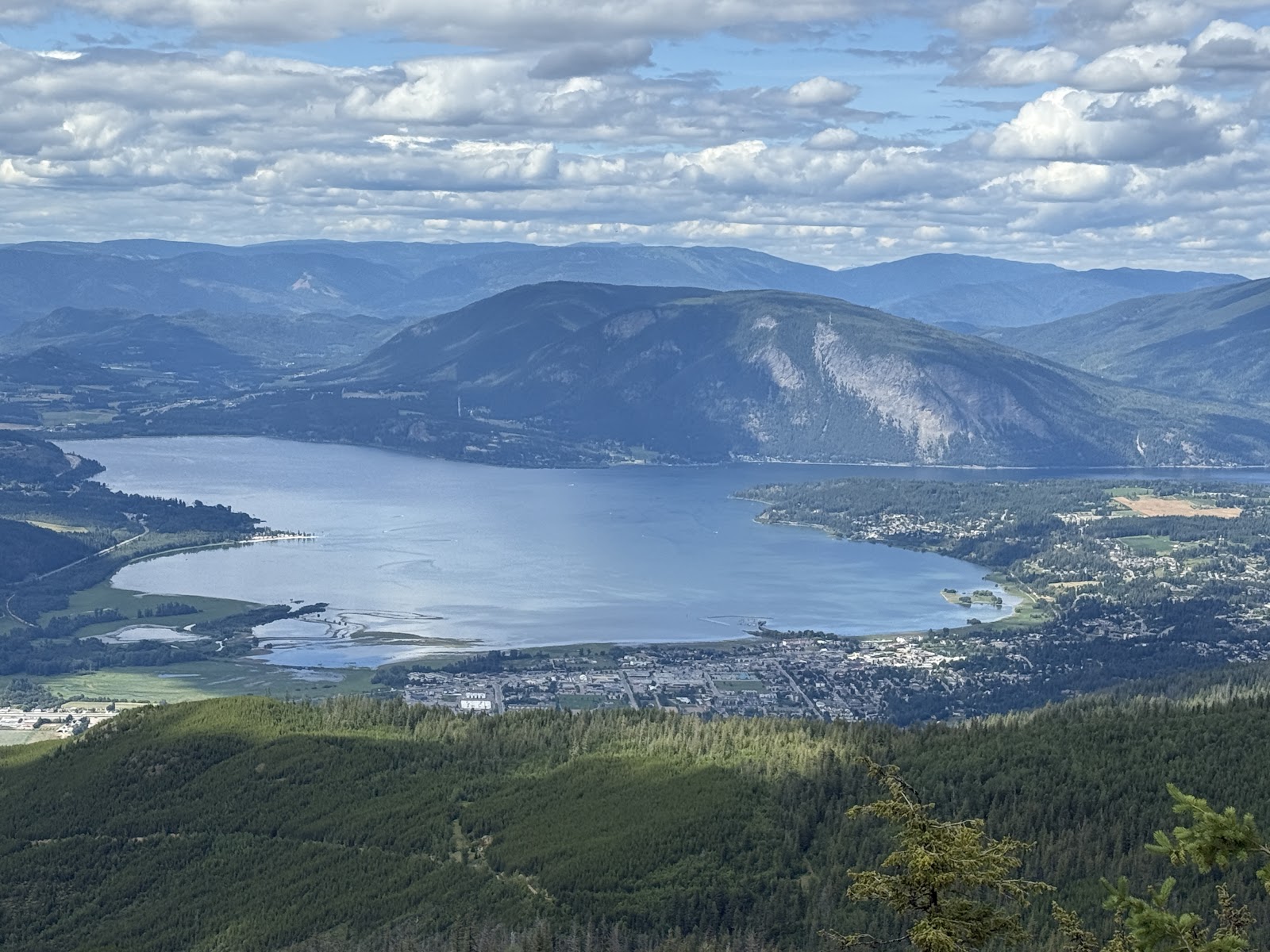
Mount Ida is the craggy, palisade-like mountain that dominates Salmon Arm's southern skyline. Rising to 1,574 metres, it's known to the Secwépemc people as Kela7scen — a name referring to its unusually coloured rocks — and is considered sacred ground. For hikers, it's the big local objective: a long climb rewarded with sweeping views over Salmon Arm, Salmon Arm Bay and Shuswap Lake.

Good to know

  • Routes to the top use forest service roads and informal trails that can be rough, steep and washed out in places — high-clearance vehicles are recommended if driving any of the approach.
  • Expect a full-day outing if you hike from the valley; carry water, bug spray and a map or GPS track.
  • The mountain's trails are currently the focus of the Kle7scéñ (Mt. Ida) Working Group with the Shuswap Trail Alliance, so check shuswaptrails.com for the latest route and access information before you go.

Please treat Kela7scen with respect as a culturally significant place and stay on established routes.

Mount Ida is public land rather than a business, so there's no owner to claim this page. Trail stewards are welcome to contact The Shuswap Loop to add official trailhead and route details.

Services

Hiking AreaMountain SummitViewpoint

Send an Inquiry

Contact Mount Ida (Kela7scen) directly for quotes or questions.

Frequently Asked Questions

Is this your business?

Take control of your business page, respond to inquiries, and attract more local customers.

Claim this profile

Contact Info

  • AddressMount Ida, Salmon Arm, BC V1E 1L7, Canada
  • Also serves
    Salmon Arm
  • Located inSalmon Arm

Explore more in Salmon Arm

Local guide →

Your ad here

Contact us to advertise in this spot

Photosfrom Google

6 photos

Reviews

4.6(20 reviews)
Chris Fowler
Chris Fowleron Google
a year ago

We rode our bikes up from the front side, entering onto the FSR through an unofficial trail off of the top road in the Cemetery. We gained about 1100m in elevation. Once at the trail head, you will have 3 steep sections you will need to climb, but once there, you will be treated to a spectacular view of Salmon Arm and Shuswap lake.

Mohamad Ghorbanali
Mohamad Ghorbanalion Google
a year ago

We hiked this 25 km trail and had a great time overall. We started at 10 AM and finished around 6 PM, taking our time to enjoy the views and breaks along the way. The incline was manageable — nothing too steep — and we didn’t face any major difficulties on the trail itself. The biggest issue we had was with bugs and mosquitoes, so definitely come prepared with bug spray, especially in the warmer months. Aside from that, the scenery made it all worth it. The lookouts were absolutely stunning and offered some amazing views throughout the hike. Finding the trailhead was a bit tricky at first. It actually starts at the cemetery, which isn’t clearly marked, so we spent a little while trying to figure out where to begin. We ended up parking our car in the cemetery as well, which worked out fine. Overall, it was a great experience, and we’d definitely like to come back and do it again in another season!

Ben Morrison
Ben Morrisonon Google
a year ago

A great hike with amazing views of Salmon arm, I would definitely recommend this hike

Tyler Cousins
Tyler Cousinson Google
4 years ago

Took my atv up there today. WOW. What an incredible mountain and the view is stunning. The trail up was very steep, big rocks, rock faces and lots of washouts. Definitely not for newbie’s.

seth tiller
seth tilleron Google
2 years ago

Drove up there in blue (tucson). Rough roads for sure, especially up shaw Road Way, but she handled it like a boss. It is a beautiful view, but you have to drive through rocks, puddles, big divots, and trees to get there.